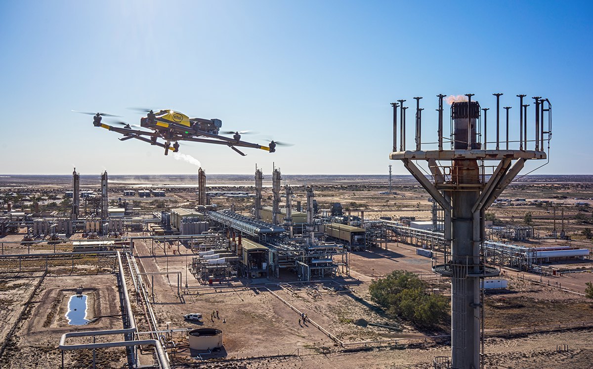
ALTITUDE
120m AGL
RESOLUTION
4K / 3cm GSD
Scroll
120m AGL
4K / 3cm GSD
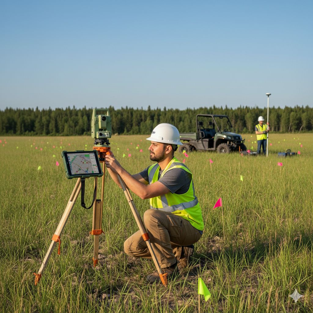
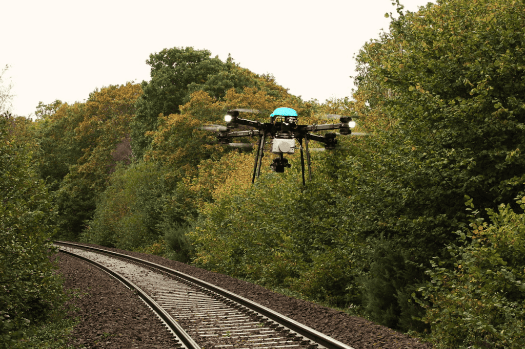
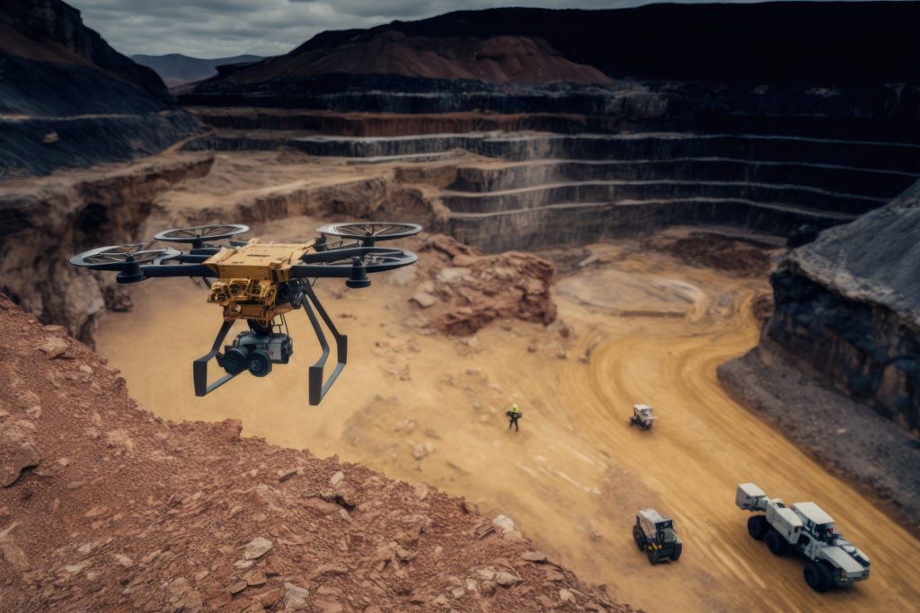
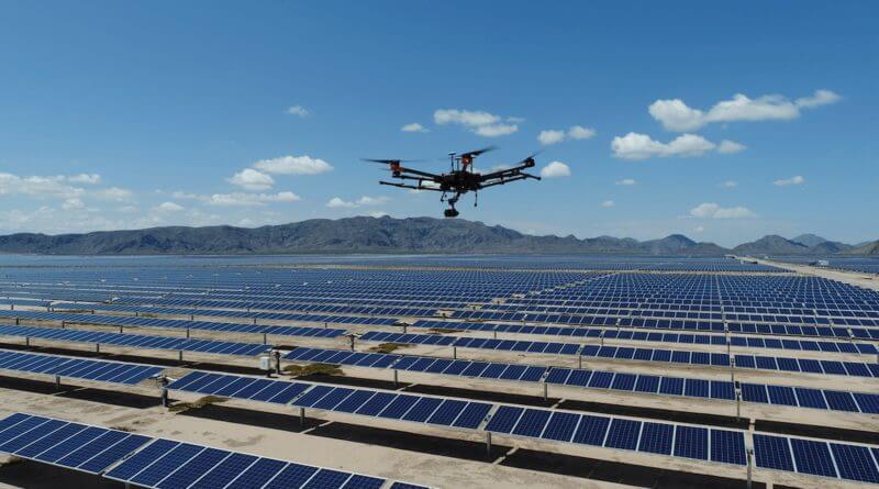
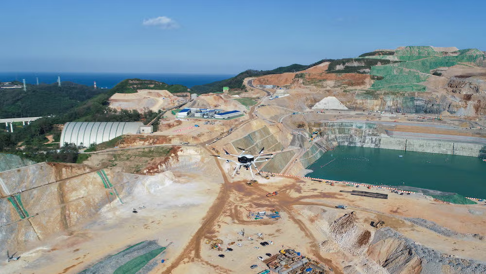
We provide high-precision drone surveying, mapping, and inspection services using advanced UAV technology. Our solutions support infrastructure development, construction planning, mining operations, and industrial inspections — delivering accurate aerial data quickly and safely. With experienced pilots and cutting-edge equipment, we help organizations make smarter decisions.
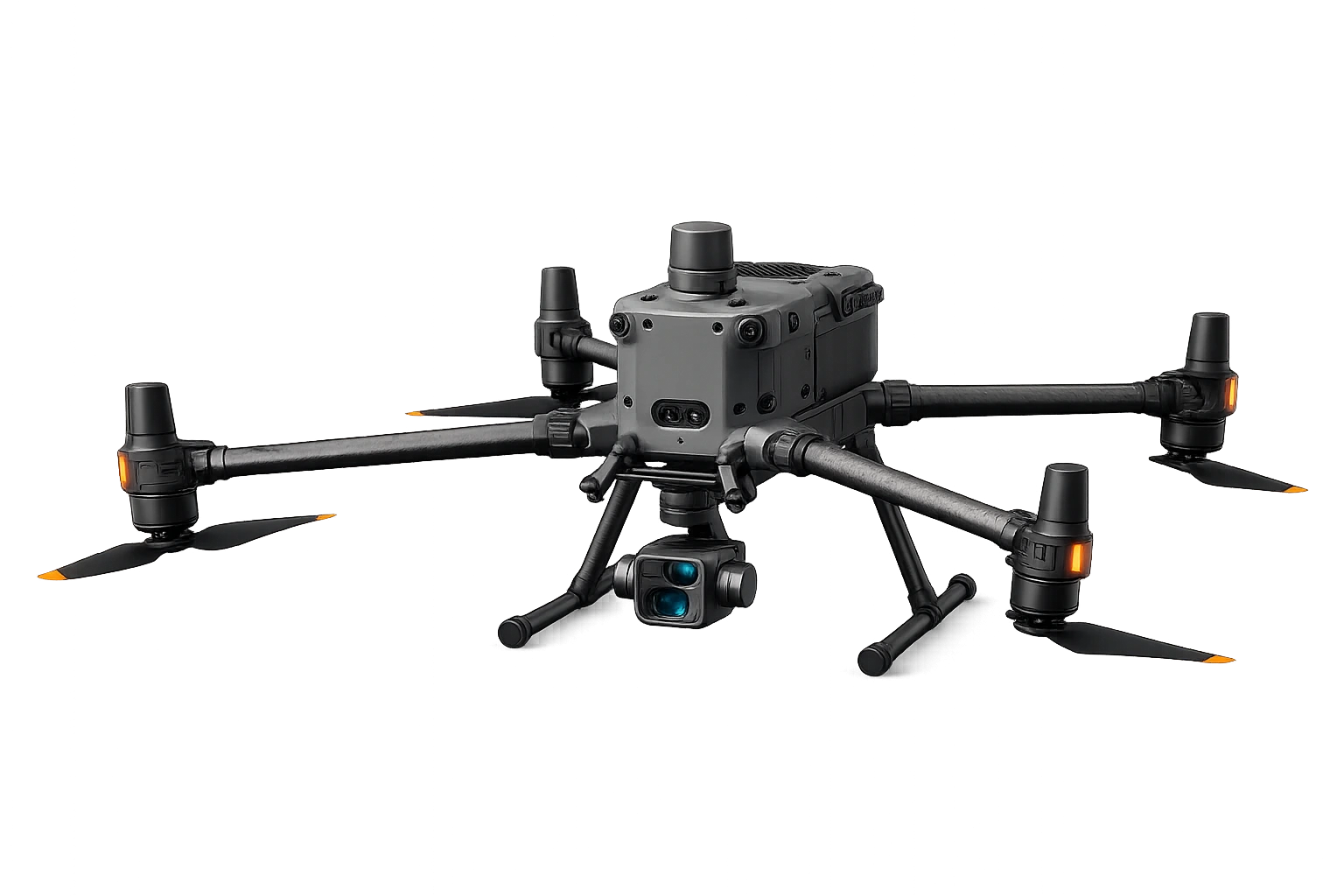
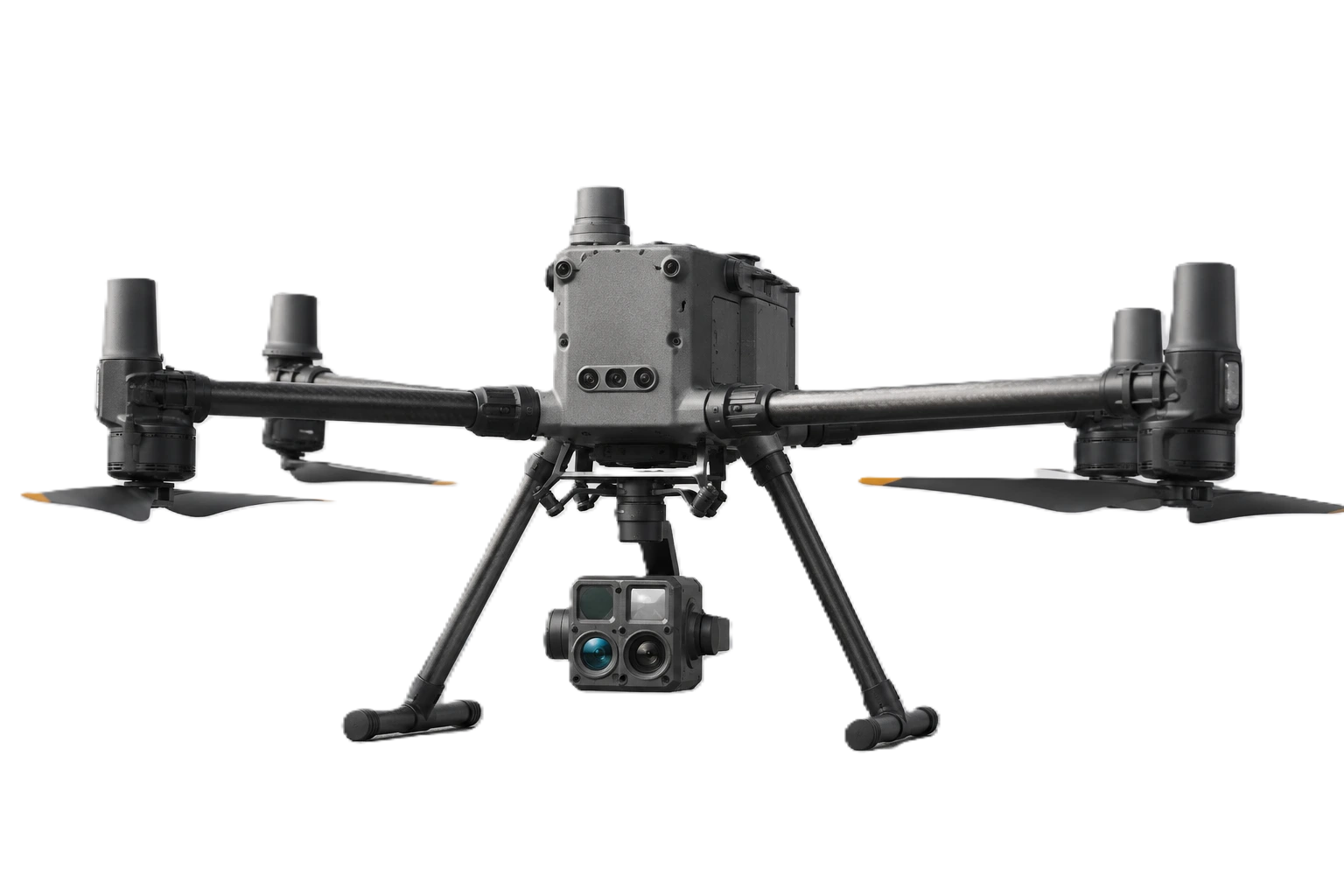
3-axis gimbal for flawless aerial footage and precise photogrammetry mapping.
High-precision GPS for stable hovering, waypoints & auto return-to-home.

DGCA licensed drone pilots with years of experience in complex survey environments across India.
Sub-centimeter precision data for critical infrastructure and engineering projects nationwide.
Rapid data processing and delivery — processed results in your hands within 48–72 hours.
All operations are fully safe, reliable, insured and compliant with Indian aviation regulatory requirements.
Get certified drone pilots for your next survey, mapping, or inspection project — precise data, fast delivery.